


Posted on: April 05, 2016
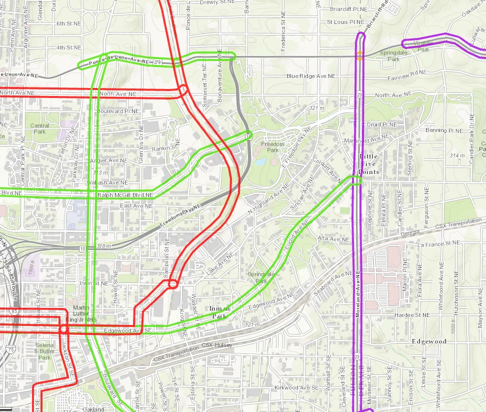
This interactive map shows the projects included in the Regional Transportation Plan, key components of The Atlanta Region’s Plan (external link) that was adopted in February by the ARC Board.
- Red = Transit Projects
- Purple = Roadway Projects
- Green = Last Mile Connectivity Projects
- Orange = Other Projects
Zoom into the map and click on individual projects to explore details like project description and status. Visit the full web map here (external link) and check out ARC’s Open Data Portal (external link) to download the dataset and explore other data. 







